Real-time generation of geometry: Basic principles
The entire VWorldTerrain technology is based on one basic principle: data can be dynamically generated by the engine in real-time.That entails two major characteristics:
 - there are no limitations to
the size of the world created.
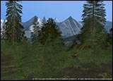 - calculations are extremely precise
(hence an excellent level of detail).
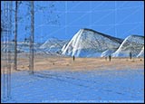
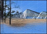
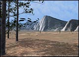
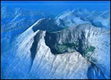
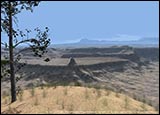
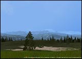
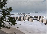
In order to generate geometry ( i.e. the total amount of polygons which make up the terrain), VWorldTerrain performs a series of procedural calculations, dedicated to the rendering of each type of desired landscape. Thus, there are specific functions for mountains, others for plains, lakes, etc. Each one of them moves along the same procedural rules. If you change the parameters to be applied to these calculations, it is possible to obtain an infinite number of functions, and therefore to display a great variety of true-to-life landscapes.

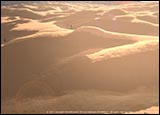
Basically, a procedural function can be defined as follows:
Function which is based on a series of iterative calculations, the results of the first row of calculations
being re-applied to the second row,and so on. After each iteration therefore, another “daughter ”- geometry
is obtained, which comes on top of its “mother”, so as to generate detail in a homogeneous way.
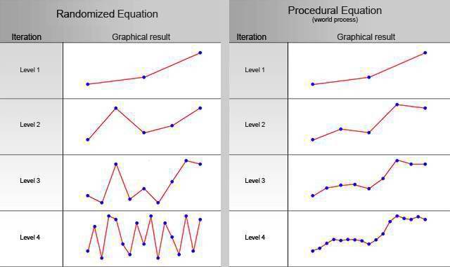
By adjusting the level of detail, according to the distance which separates the observer’s eye from the scene
we can display a true-to-life landscape whose geometry complies with personal computers’ calculations
capabilities (i.e. maximum number of polygons that can be displayed this way).
