Procedural textures creation
VWorldTerrain features a unique dynamic procedural texturing system (DPTS), which makes it possible to display a great variety of terrains. That system creates a specific texture for each cluster of polygons, which has many advantages, namely:
- no texture mapping tile
-
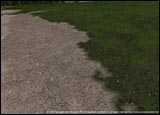
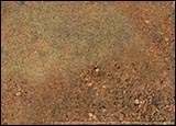
a great variety of textures, with the use of different materials according to the various types of topography (rocks, weeds, gravel, etc)
-
a perfect integration of geometry, in a very smooth way
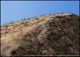
-
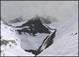
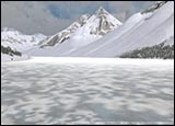
changeable textures, varying with the seasons and the weather (snow mantle in the winter, changing colour
of leaves in the fall, etc)
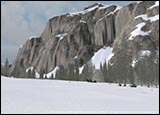
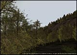
- a more or less precise level of detail, whether the observer zooms on particular items or looks in the distance.
-
a constant pixel ratio, hence a very high image definition in the foreground, and more blurred hues in the background.
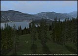
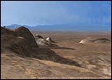
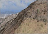
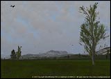
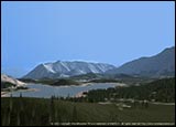
Thus, ground texture rendering varies with the desired environment (desert, undergrowth, meadows…), and details
are created dynamically to adapt to the observer's position.
 The DPTS therefore consists of a series of mathematical equations, with variable parameters, as follows:
A- Static data:
i.e.the three main types of data quoted in the Databases file:
- satellite data
- information on the nature of the terrain
- topographical data
Those data give us precise indications as to colour and nature of the ground, vegetation, and relief.
We process them so as to be able to create textures procedurally.
B- Dynamic data:
- meteorological data
- temperatures
Procedural textures obtained in A- are then dynamically altered by processing the above data in real-time, e.g. when thaw has an effect on the snow mantle or the ice.
