VWorldTerrain Technology
VWorldTerrain© is a software technology based on an original concept of procedural calculations which is
tailor-made for real-time 3D terrain rendering.
That technology is the fruit of a ten-year-long development work, and it has already been used in various
fields, such as Video Game, Edutainment, advanced technologies research, Aeronautics, Space & Defence and
Town & Country Planning.
VWorldTerrain technology is based on a principle of dynamic creation of data in real-time, which is quite
challenging compared to traditional techniques, which display 3D universes while integrating already modeled
items.
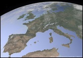 Thanks to that device, we can display infinite
worlds in a seamless way,
e.g.: Earth viewed from space:
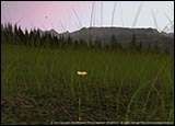 landscapes which stretch away endlessly into
the distance,
but inside which it is possible to
define any element with a
precision down to
the centimeter when you zoom in
To obtain such results, VWorldTerrain makes use of various satellite databases:
- DEMs (Digital Elevation Models), so as to achieve a realistic topography ( to define altitude).
- Satellite imagery, so as to display the right colors.
- Information on the type of ground and vegetation cover, so as to reproduce the related typical
atmosphere (desert, rain forest...)
in 3D.
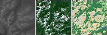
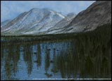
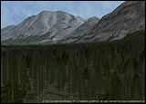
We thus achieve a fairly realistic rendering of landscape, however real or imaginary.
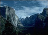
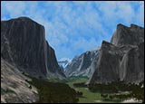
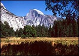
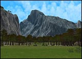
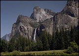

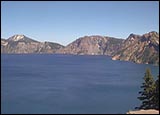
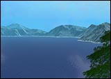
On top of that, there are other sets of data (already existing or, if need be, created for the occasion),
such as information on cloud cover, rainfall, temperatures, force and direction of winds…that we use to
give an even greater realism to the landscape and reproduce meteorological phenomena in a completely
dynamic way ( wind, snow, rain, mist, sandstorms…).
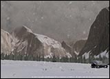
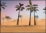
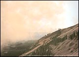
The engine therefore reads and interprets all these databases in real-time and simultaneously creates a
three-dimensional universe.
In order to do so, VWorldTerrain performs different procedural calculations, according to the desired type of landscape. There are therefore specific functions for mountains, others for plains, lakes, etc…
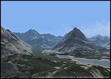
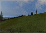
The selfsame functions are used to generate landscapes with an extremely high definition, since not only
does the engine make use of all the information contained in the databases but it also extrapolates missing
data, so as to reach an impressive level of detail; in addition to that, the rendering varies according to
the distance of the observer (depth of field), so as to comply with the calculations capabilities of each
personal computer.

The implementation of architectural elements in the environment generated by the engine follows the same rules,
so as to adjust the level of detail according to the (more or less remote) position of the observer.
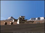
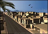 Therefore, we can just as well
display a whole town, from afar:
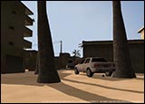 as the architectural particularities
of a building in the foreground:
Finally, there is one function which aims at including all types of specific models, whether architectural
or not, to the terrain relief, so that it can be perfectly integrated.
